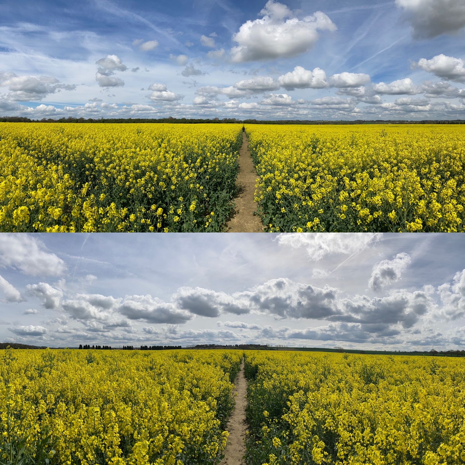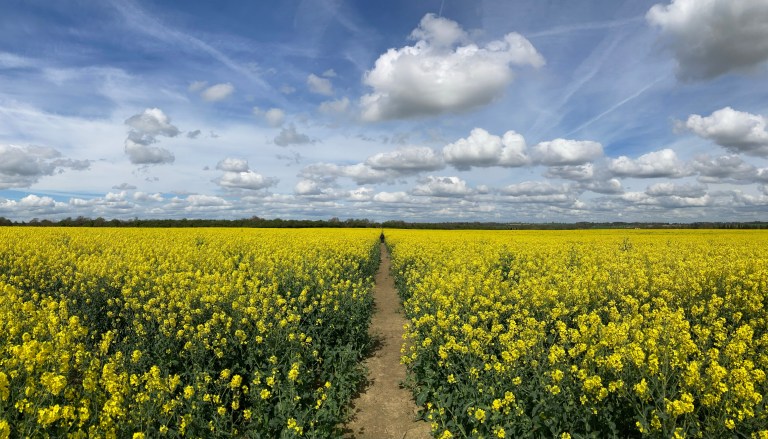
I’ve become fascinated by long, straight footpaths that run through agricultural land. These are designated and signposted footpaths that can be found on OS maps and are places where farmland and footpaths coexist.
Some are well-used by the public and appear to be maintained by the landowner or farmer.
Sadly, some are not and can soon disappear. In the summer of 2025, I set out to walk and document some of the ones I found in the Wakefield District. Some have become old friends as I have walked them often in search of boundaries and solitary trees; others are new to me.
When I’ve found one, I stand in the middle and photograph it looking along the line in both directions.
If you click on the image, it will give you the name of the nearest village and map reference.
This ongoing endeavour is dedicated to people who want these places to exist – and is a large nod of gratitude to the work of Richard Long.