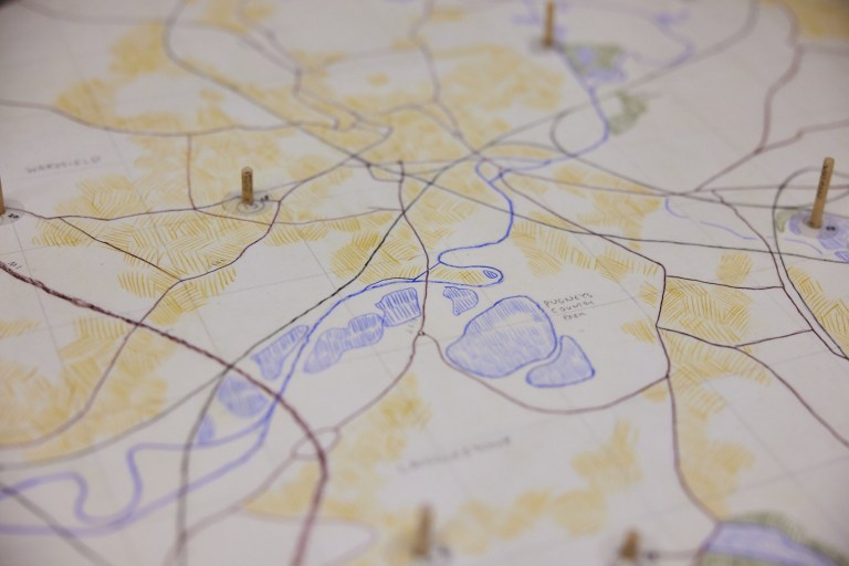
This piece is a 1 to 16,000 scale map of the Wakefield District showing the locations, (and depths) of the 34 collieries that used to exist within its boundary. (Funded by Wakefield Council Culture Grants)
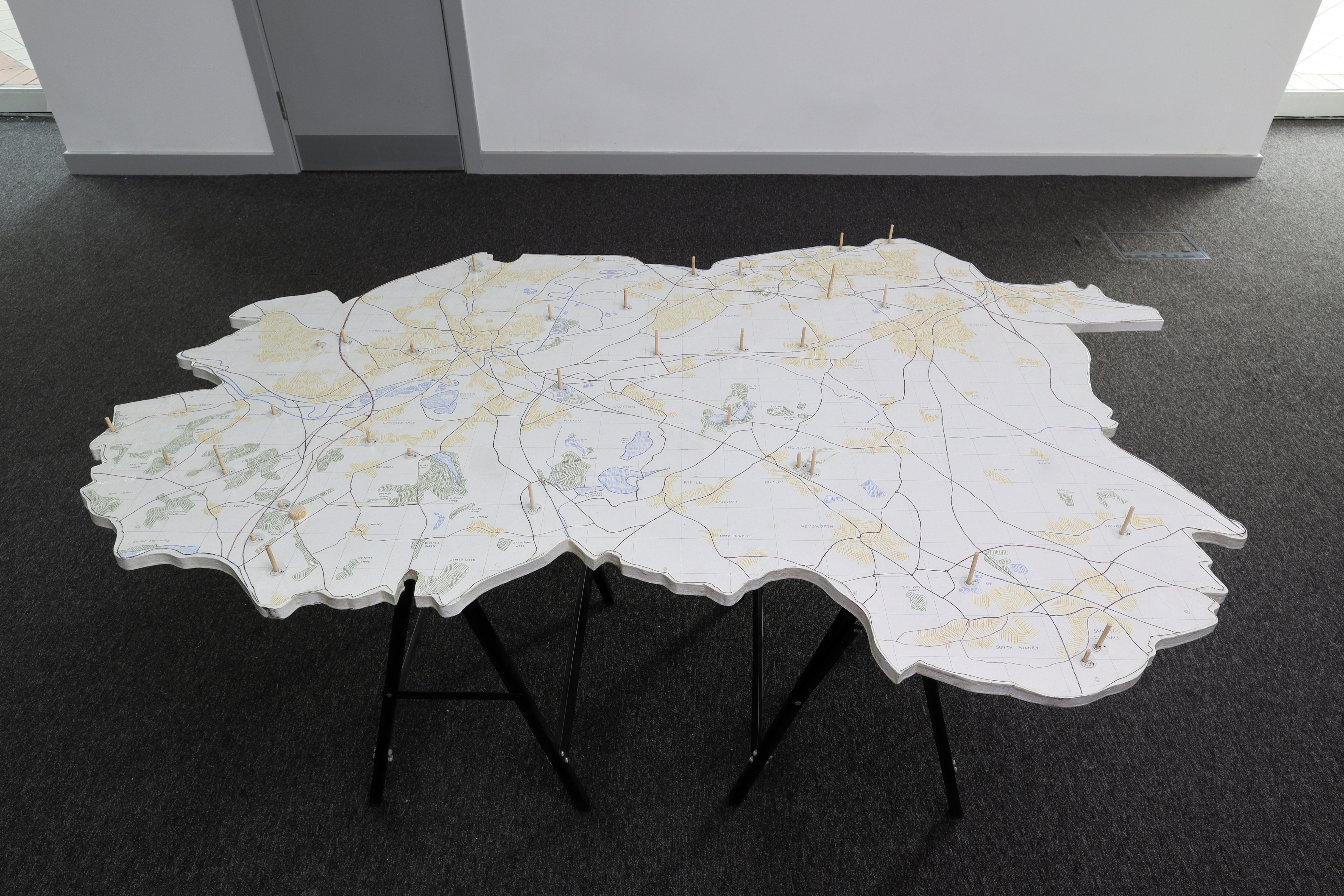
Coal Table 2023 – MDF, drawing on paper, wooded dowel, and metal.
Photograph by John Mayson

Photograph by David Lindsey

Photograph by David Lindsey
